The Map Lab is a collection of digital maps and geospatial data of India. This platform includes ready to use and downloadable* maps and geospatial data of India.
Browse our collection of Historical Maps of India (Georeferenced with searchable Points of Interest); Satellite Images and products (FCC, NDVI, NDWI, NDSI, SIPI, LULC, and Others) of National Parks, Wildlife Sanctuaries and Major Cities of India; Environmental, Climate and Weather, Socio-Economic, Critical Infrastructure, Population and Demographic, and other Geospatial data of India.
On-going projects include:
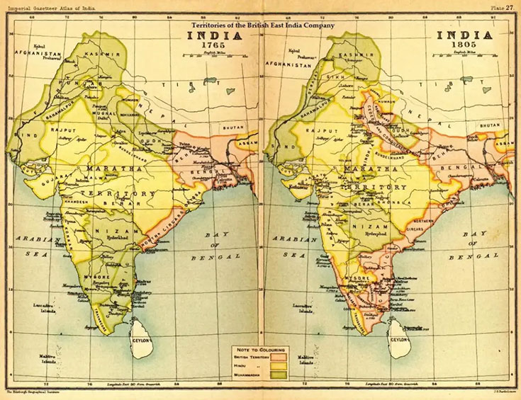
- Historical Maps of India
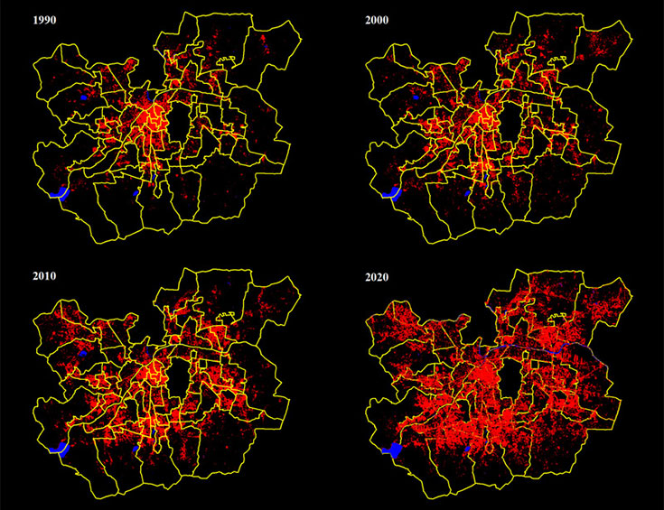
- Open Pune
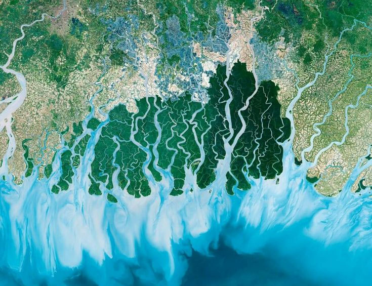
- An Atlas of Environmental Change in India